KRUFT (DE) - 2013-01-22 20:42:26
- Magnitude 1.9
Last update : 2013-05-24 14:09:50 Belgian time
Main parameters
| Date and time |
2013-01-22 20:42:26 UTC
2013-01-22 21:42:26 Belgian time |
| Type | Earthquake |
| Magnitude | ML 1.9 |
| Region | KRUFT (DE) |
| Epicentral coordinates | 50.398° N, 7.359° E Uncertainty ± 2.5 km |
| Depth of hypocenter | 2.1 ± 11.5 km |
Data source : BNS (Cologne University)
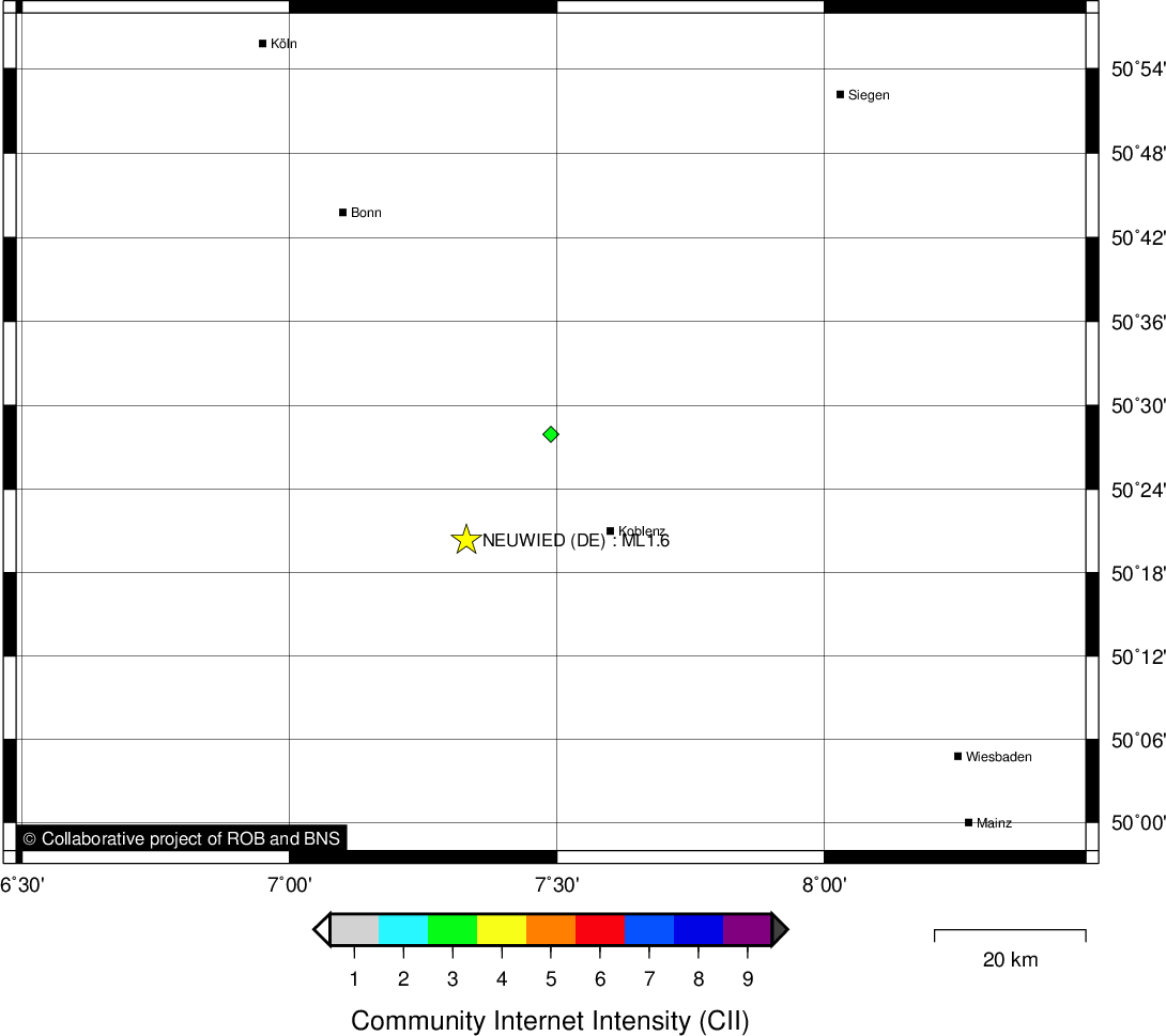
Location map
Quake measurements
Measurements by the Belgian seismic network
| Station | Epicentral distance (km) |
P-Wave arrival (hh:mm:ss.ss) | S-Wave arrival (hh:mm:ss.ss) | Maximal ground displacement (nm) |
|
|---|---|---|---|---|---|
| Code | Place | ||||
| VIA | VIANDEN | 97 | 20:42:42.11 | - | - |
| KLB | KALBORN | 95 | 20:42:42.12 | 20:42:52.30 | 24.8 |
| HOU | HOUVEGNEZ | 96 | 20:42:42.55 | 20:42:55.19 | 3.5 |
| MEMS | MEMBACH | 98 | 20:42:43.42 | 20:42:54.89 | 13.7 |
| WLF | WALFERDANGE | 119 | 20:42:45.38 | 20:42:59.85 | 17.1 |
| HRK | HERKENBOSCH | 121 | 20:42:47.92 | 20:43:02.04 | - |
| EBN | EBEN-EMAEL | 127 | 20:42:48.17 | 20:43:02.88 | - |
| STI | SART TILMAN | 129 | 20:42:48.50 | - | - |
| GES | GESVES | 161 | 20:42:52.88 | 20:43:10.92 | 5.5 |
| MRD | MAREDSOUS | 184 | 20:42:56.06 | 20:43:17.82 | 6.6 |
| DOU | DOURBES | 200 | 20:42:58.42 | 20:43:20.32 | 6.4 |
Measurements by the Dutch seismic network of KNMI (Royal Netherlands Meteorological Institute)
| Station | Epicentral distance (km) |
P-Wave arrival (hh:mm:ss.ss) | S-Wave arrival (hh:mm:ss.ss) | Maximal ground displacement (nm) |
|
|---|---|---|---|---|---|
| Code | Place | ||||
| HGN | HEIMANSGROEVE | 109 | 20:42:45.49 | - | - |
| WTS | WINTERSWIJK | 182 | 20:42:55.91 | - | - |
Macroseismic
Data
| Total number of responses | 1 |
|---|---|
| Intensity III | 1 |
Attention! The intensities derived from the macroseismic enquiry are raw unverified data.
Map
Data policy
Please read on this notice to learn more about our data policy.