KAMP-LINTFORT (DE) - 2010-03-10 19:01:06
- Magnitude 2.4
Last update : 2016-11-24 12:56:31 Belgian time
Main parameters
| Date and time |
2010-03-10 19:01:06 UTC
2010-03-10 20:01:06 Belgian time |
| Type | Known induced event |
| Magnitude | ML 2.4 |
| Maximal intensity | III |
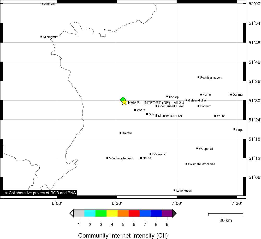
| Region | KAMP-LINTFORT (DE) |
| Epicentral coordinates | 51.491° N, 6.563° E Uncertainty ± 1.0 km |
Location map
Quake measurements
Measurements by the Belgian seismic network
| Station | Epicentral distance (km) |
P-Wave arrival (hh:mm:ss.ss) | S-Wave arrival (hh:mm:ss.ss) | Maximal ground displacement (nm) |
|
|---|---|---|---|---|---|
| Code | Place | ||||
| HRK | HERKENBOSCH | 44 | 19:01:14.66 | 19:01:20.56 | - |
| EBN | EBEN-EMAEL | 99 | 19:01:23.92 | - | - |
| MEMS | MEMBACH | 105 | 19:01:24.13 | 19:01:39.18 | 140.5 |
| DSLS | DESSEL | 108 | 19:01:25.78 | - | - |
| LCH | LA CHARTREUSE | 116 | 19:01:26.21 | - | - |
| STI | SART TILMAN | 123 | 19:01:27.58 | - | - |
| CLA | CLAVIER | 148 | 19:01:30.82 | 19:01:49.64 | 47.3 |
| KLB | KALBORN | 158 | 19:01:32.38 | 19:01:50.94 | 62 |
| GES | GESVES | 161 | 19:01:32.54 | 19:01:51.30 | - |
| MRD | MAREDSOUS | 183 | 19:01:35.31 | - | - |
| DOU | DOURBES | 208 | 19:01:38.65 | - | - |
Macroseismic
Data
| Total number of responses | 6 |
|---|---|
| Intensity III | 5 |
| Intensity IV | 1 |
Attention! The intensities derived from the macroseismic enquiry are raw unverified data.
Map
Data policy
Please read on this notice to learn more about our data policy.